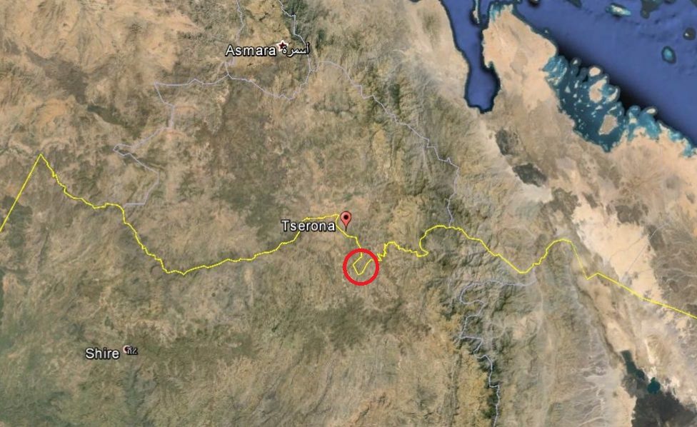
The United States Geological Survey (USGS) reported a moderate earthquake took place on Sunday in north-eastern Ethiopia.
According to the report on USGS website, the event took place about two hours afternoon 01:48 PM Ethiopian time.(or 10:48 AM GMT – London Time)
The earth quake was reported at a location north-east Ethiopia, 145 kilometers east of Mekele city.
It appears to be in the Afar regional state.
The quake was 4.4 magnitude on a Richter scale – a measurement of earthquakes.
It is to be recalled that about a series of earthquakes took place in that general location causing Nabro eruption and ash cloud last June.
See below the United States Geological Survey (USGS) report and map of the location of the incident.
*************
Earthquake Details
This event has been reviewed by a seismologist.
|
Magnitude |
4.4 |
|
Date-Time |
|
|
Location |
13.458°N, 40.824°E |
|
Depth |
10.2 km (6.3 miles) |
|
Region |
ETHIOPIA |
|
Distances |
145 km (90 miles) E of Mekele, Ethiopia |
|
Location Uncertainty |
horizontal +/- 22.3 km (13.9 miles); depth +/- 9.1 km (5.7 miles) |
|
Parameters |
NST= 13, Nph= 13, Dmin=306.1 km, Rmss=0.75 sec, Gp= 72°, |
|
Source |
|
|
Event ID |
usc0007cr0 |
*******
*******
See the Earthquake archive of this blog for similar reports in that area earlier this year.


1 Comment on this post
Comments are closed.
Leave a Comment